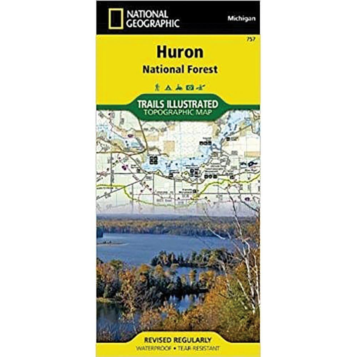
The National Geographic Huron National Forest Trails Illustrated Map is a detailed outdoor navigation essential designed for hikers, campers, and explorers. Featuring topographic mapping and trail information, it helps outdoor enthusiasts confidently plan adventures through Michigan’s wilderness.
Details:
- Detailed topographic trail map
- Features Huron National Forest trails and outdoor landmarks
- Ideal for hiking, camping, and navigation
- Waterproof and tear-resistant design