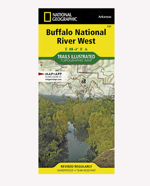
The first National River to be designated in the United States, the Buffalo River flows 153 miles through the tranquil forests and dramatic sandstone and limestone bluffs of the Ozarks. National Geographic's Trails Illustrated map of Buffalo National River West combines extensive detail with helpful information to offer an invaluable tool for making the most of your visit to one of the few remaining undammed rivers in the lower 48 states. Created in partnership with local land management agencies, this expertly researched map includes sections of the river from the Upper Buffalo Wilderness and the Ozark National Forest, through Boxley Valley to the Little Buffalo River, then through to Woolum.
" Waterproof " Tear-Resistant " Topographic Map
- Department:
- Gear


